Brown Bear Coast

Brown Bear Coast

Brown Bear Coast

The Brown Bear Coast is a remote and wild area. The mountains begin straight on the shore, which adds to the unapproachability of the place and creates a magnificent landscape.

The dive sites: to the north of Rytyi Cape, Anyutka Cape, to the south of Pokoiniki Cape, Solontsovy Cape, Severny Cape, Kedrovy Cape, Pesochnoye Serdtse, Raduga, Tanechkin Labyrinth, Ledyanaya, Peschanyje Reki, Pozharishe, Elokhin Cape, to the north of Elokhin Cape, Khibelin, to the south of Kotelnikovsky Cape, and Tolsty Severobaikalsky Cape.

Some of the sites are described below.

Pesochnoye Serdtse (Sand heart)
Шельф на Песочном сердце. Фото Ольги Каменской

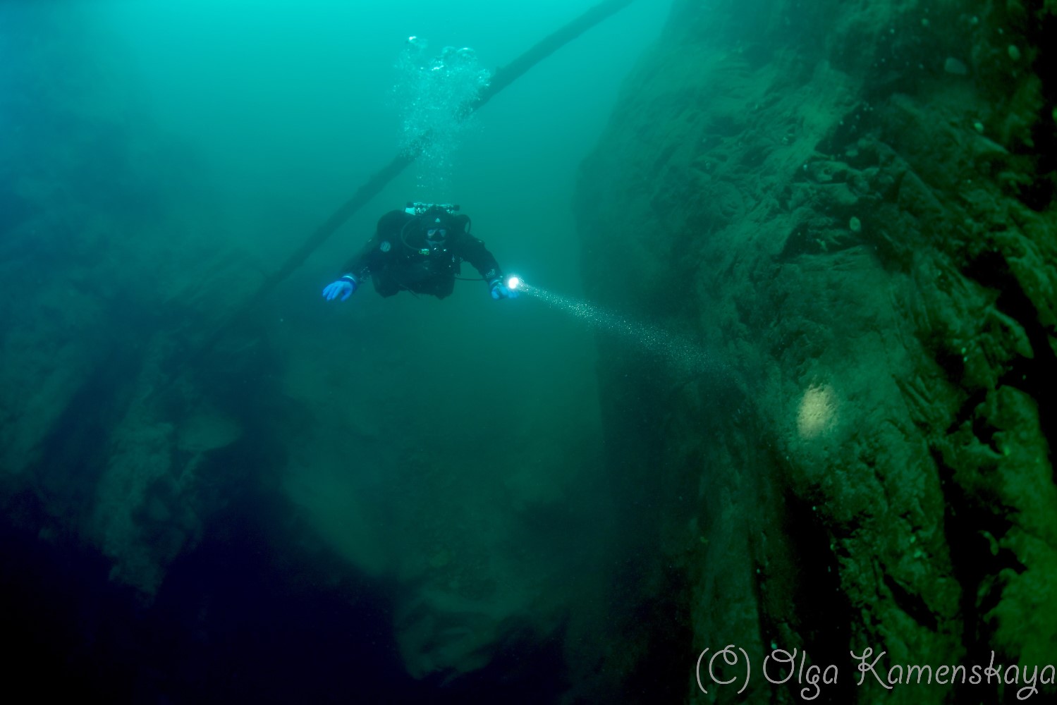
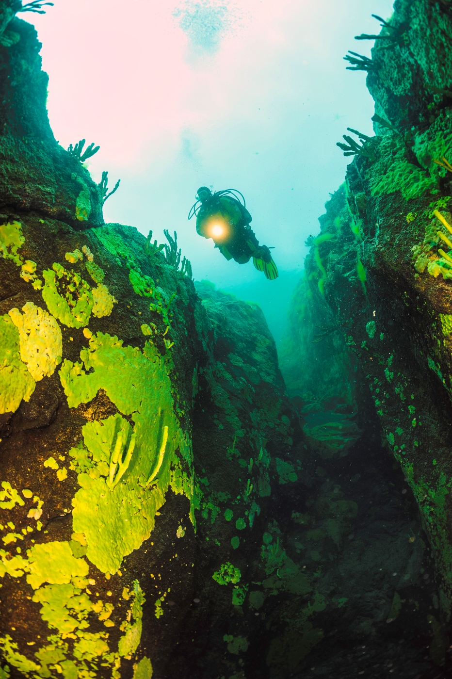
The dive site owes its name to the peculiar sandy talus on the mountain slope opposite the site. The site is interesting for recreational and technical dives up to 80 meters.

Recommended depths: 10-20 meters for photographing and filming, 10-40 meters for recreational dives, and up to 80 meters for technical dives.

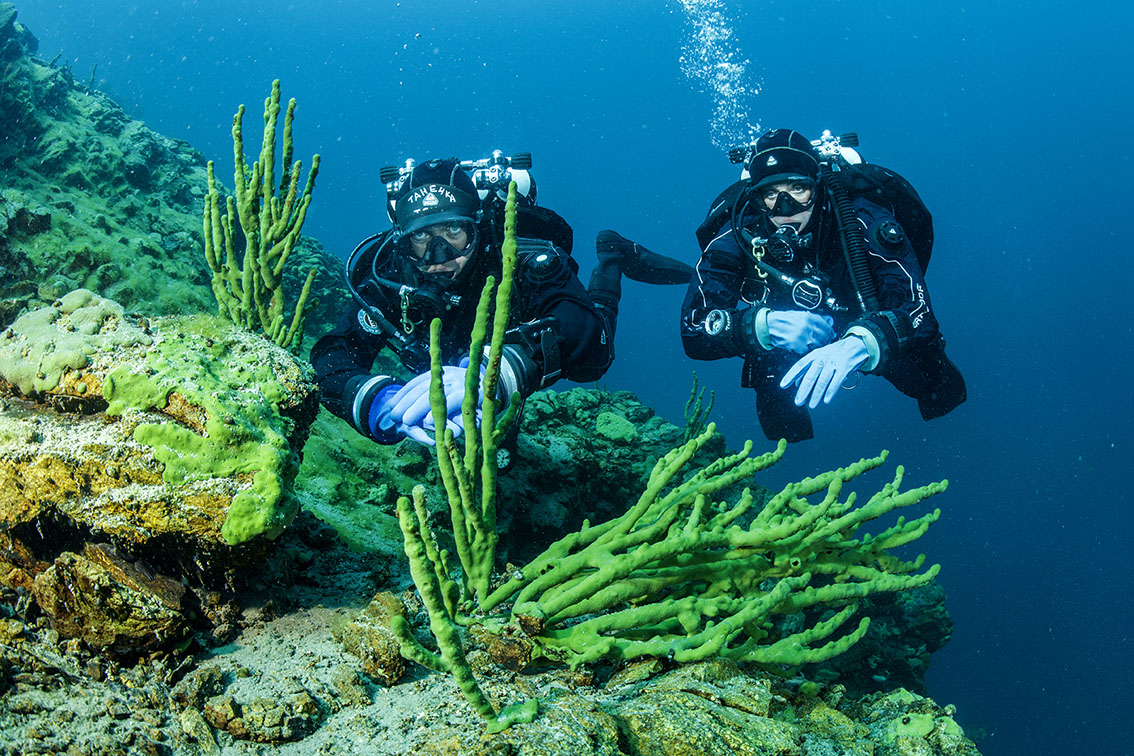
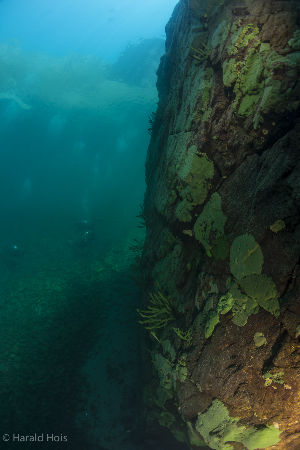
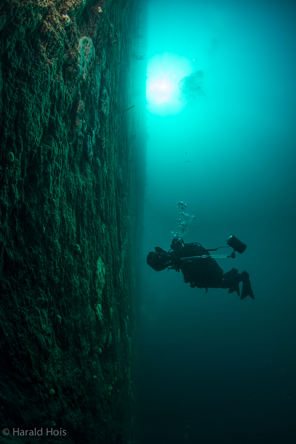
You find a stone drop-off here, and in the northern and southern parts of the site, steep sandy slopes with big stones and mountain rock outcrops.

Raduga (Rainbow)

Raduga (The Rainbow)The dive site name came to our mind because we often saw really many rainbows in the area. Do you agree this sounds better than «to the north from Northern Kedroviy/Cedar»?

The site is interesting for recreational and technical dives up to 70 meters.

Recommended depths: 10-20 meters for photographing and filming, 10-40 meters for recreational dives, and up to 70 meters for technical dives.

Raduga. The Rainbow. В каньоне с песчаным дном. Фото Вернер Тиле.
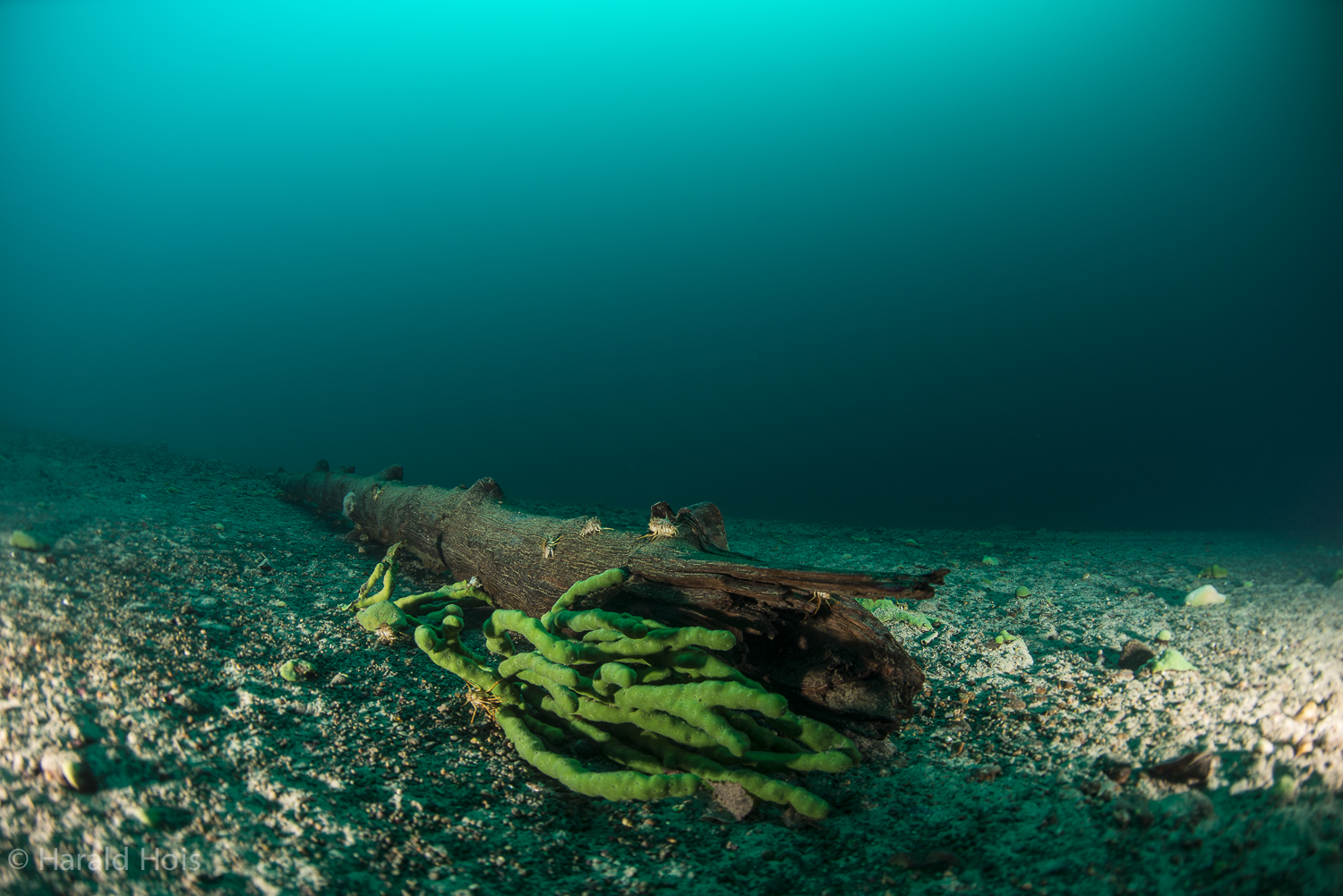
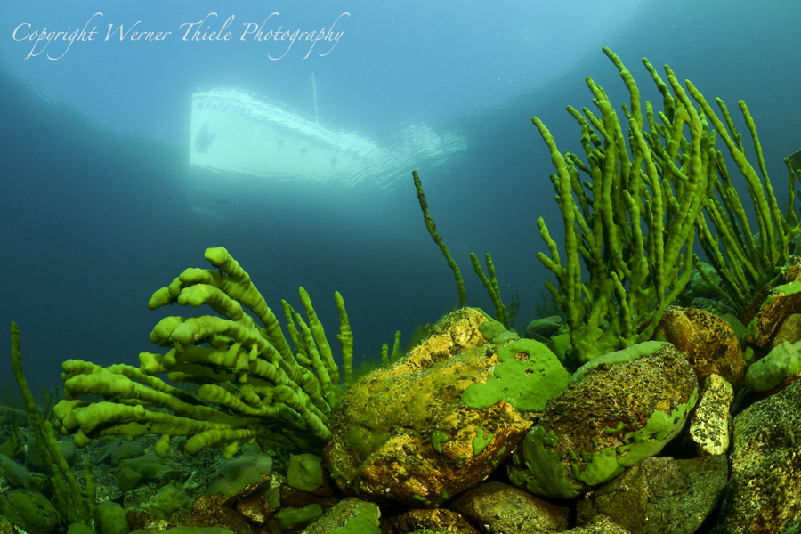
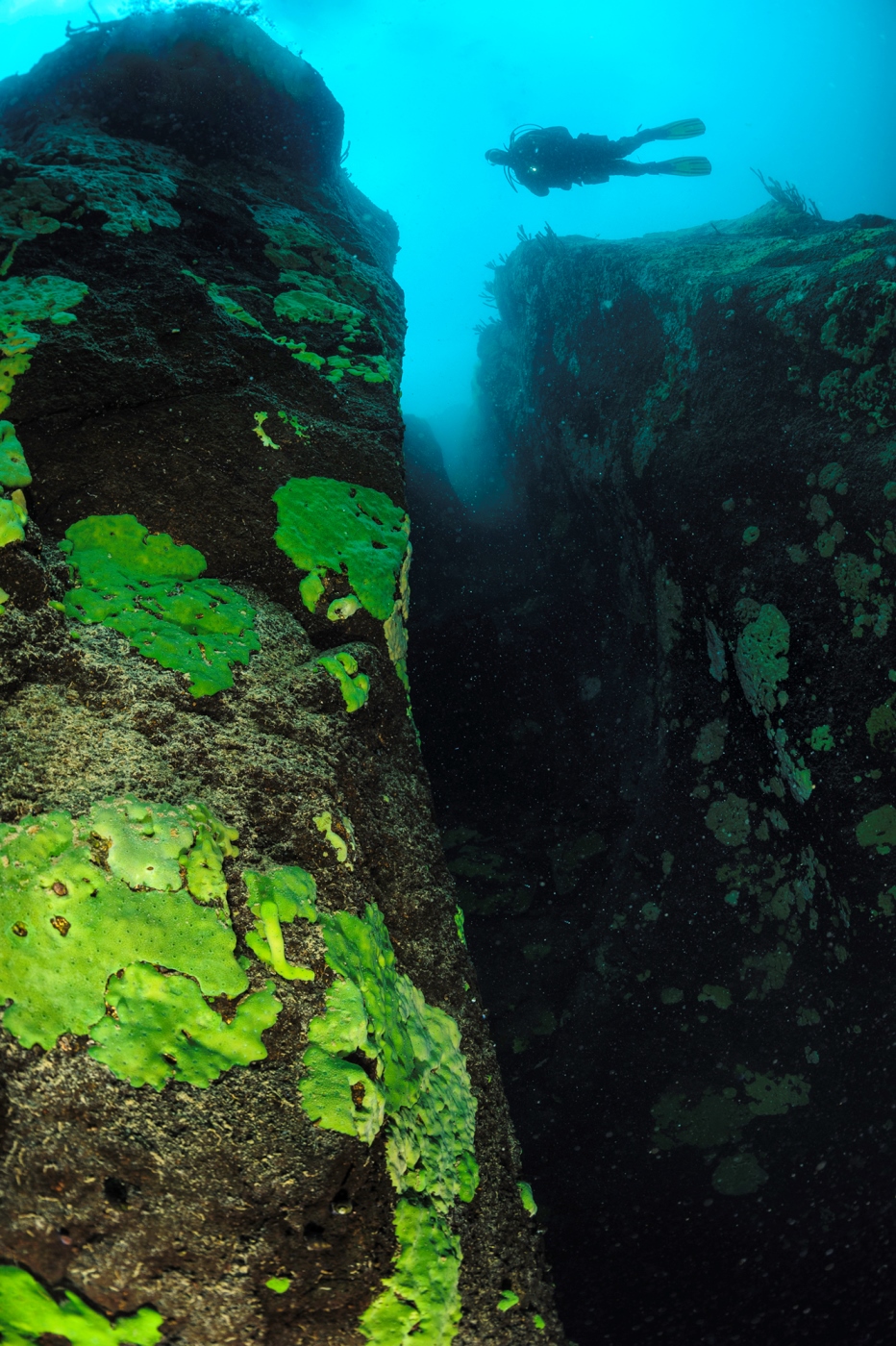
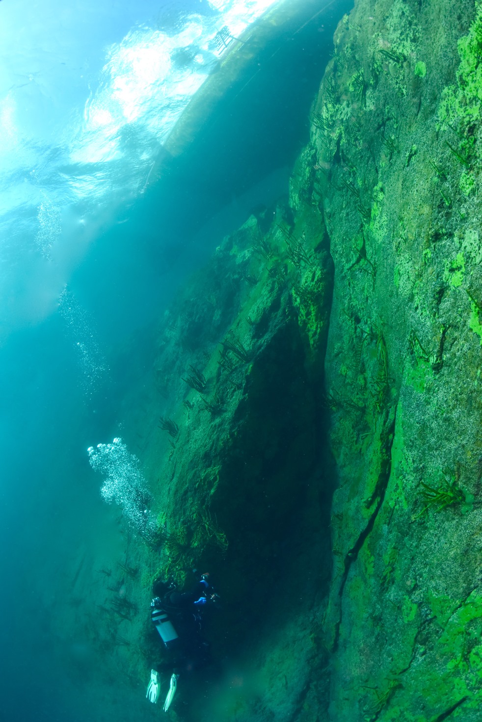
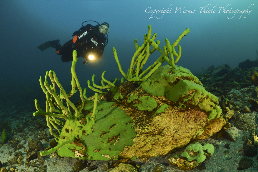
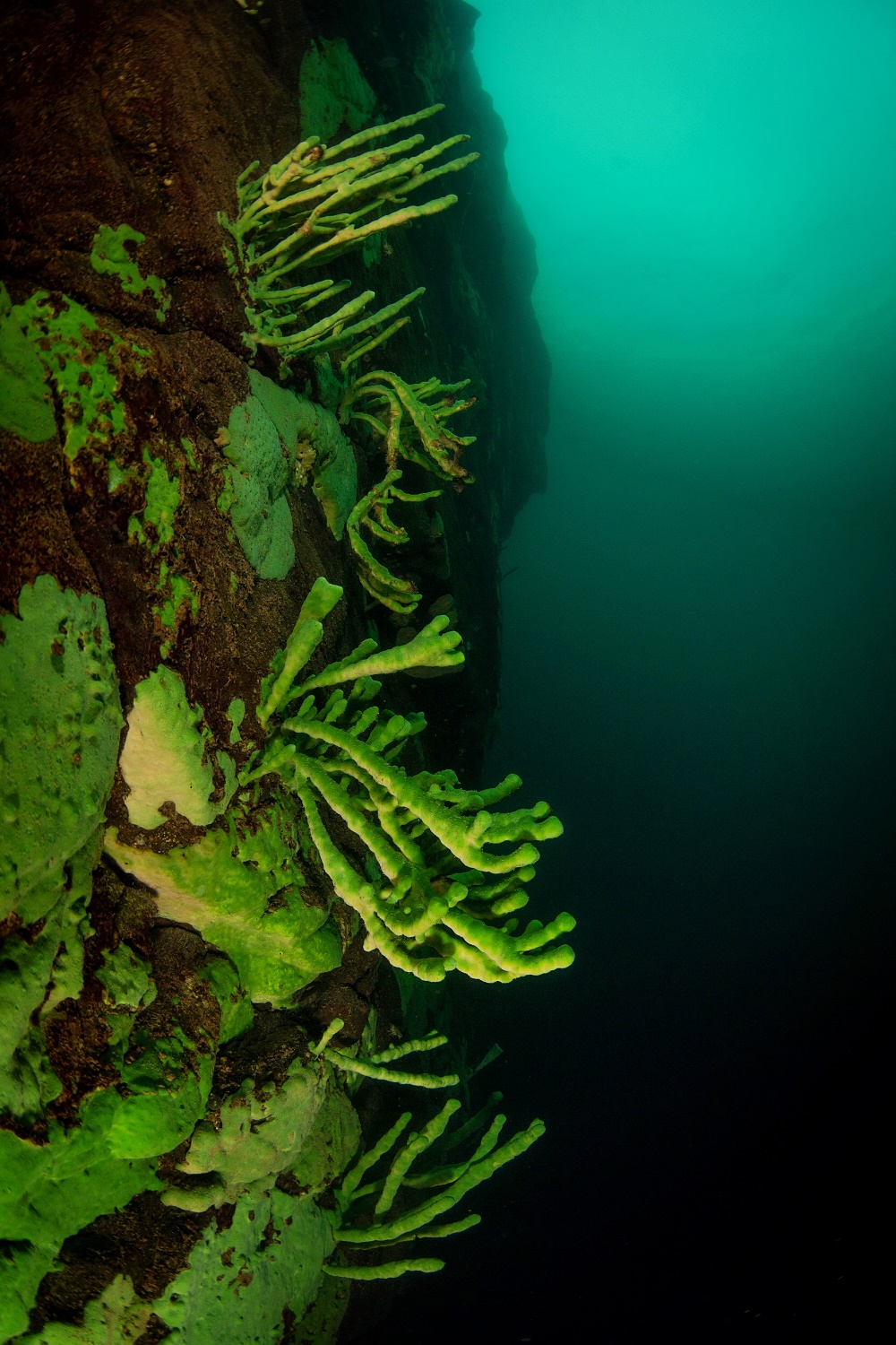
A dive boat is anchored in a small offshore area (depth - 6-10 meters) to the north from Cape Northern Kedroviy. A steep benchy stone drop off covered in very high sponges. To the left and to the right from the drop off - sand inclinations. To the north - a sand inclination with huge stones covered in sponges. A picturesque offshore area of white sand and huge stones, covered in sponges.

Tanechkin labyrinth

Свал. Фото Ольги КаменскойТанечкин лабиринт.jpg

The site is called “Labyrinth” because of its central part that is a grandiose canyon with a few entrances, which does make it look like a labyrinth. The attribute “Tanechkin” is after the instructor Tatjana Oparina who discovered the site.

Recommended depths: three to 80 m for photographing and filming, and up to 120 m for deep and trimix dives.

The big canyon is formed as a junction of three canyons. The beginning of the canyon is a log lying across at a depth of 24-27 meters.  At a depth of 35 meters, you find a huge stone stuck in the canyon, under which there is a big grotto. You can see a similar stone at a depth of 65 meters. The channel-like canyon goes down to 90 meters.

In the northern part of the site, another channel-like canyon begins at 4 meters in the shelf area and goes down to 30 meters. You can also see a big tangle of sponges there.

Ledyanaya

Ledyanaya
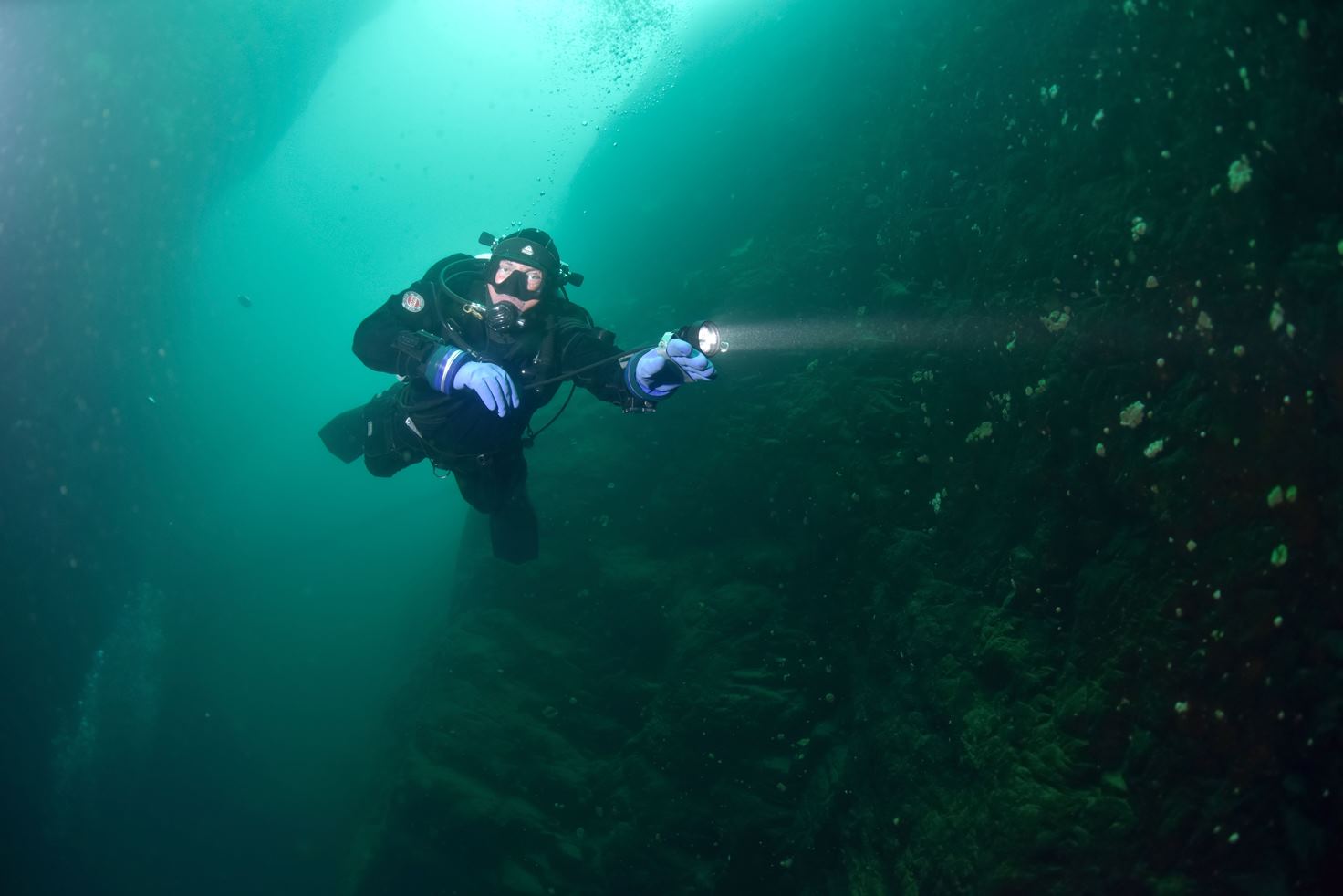
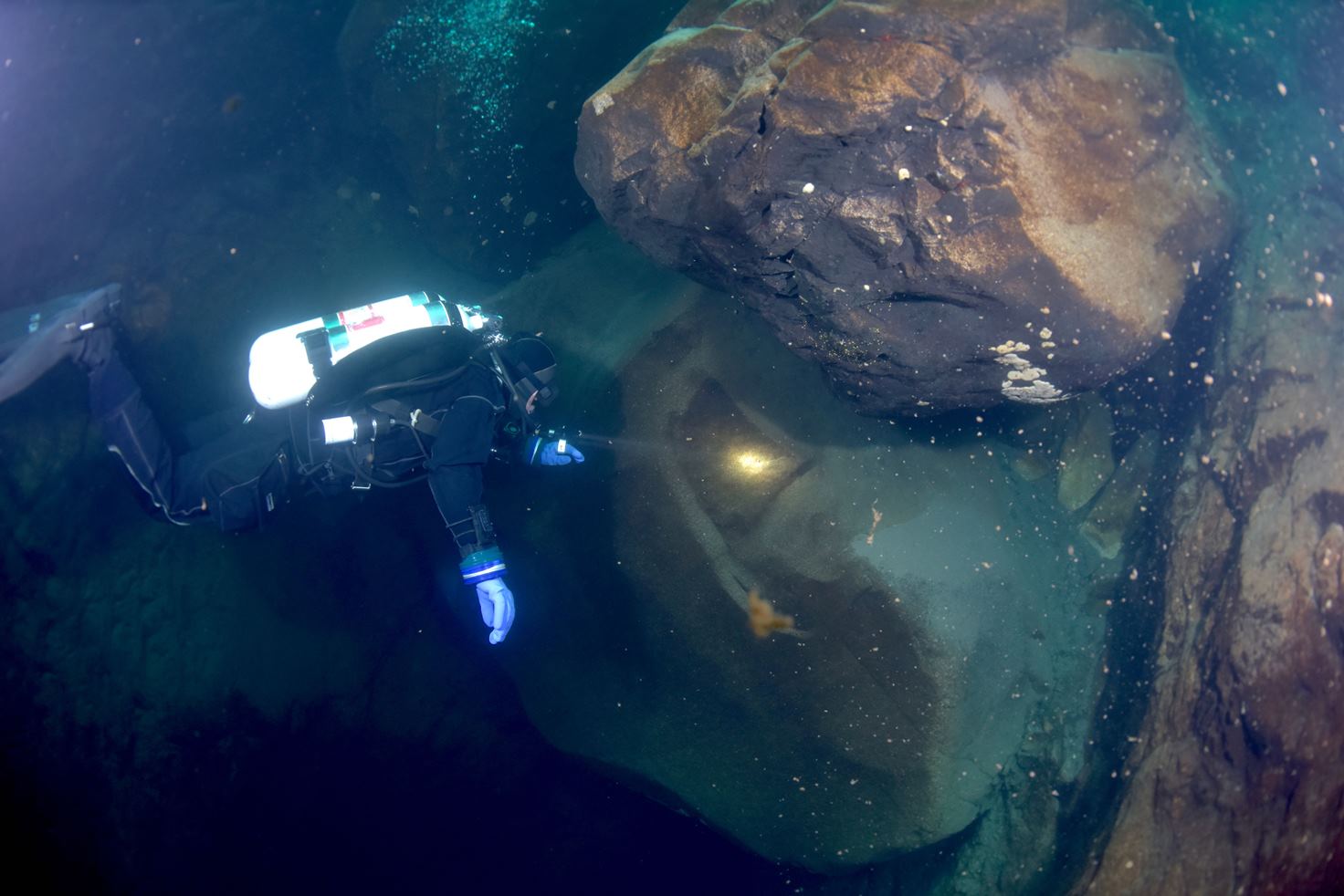
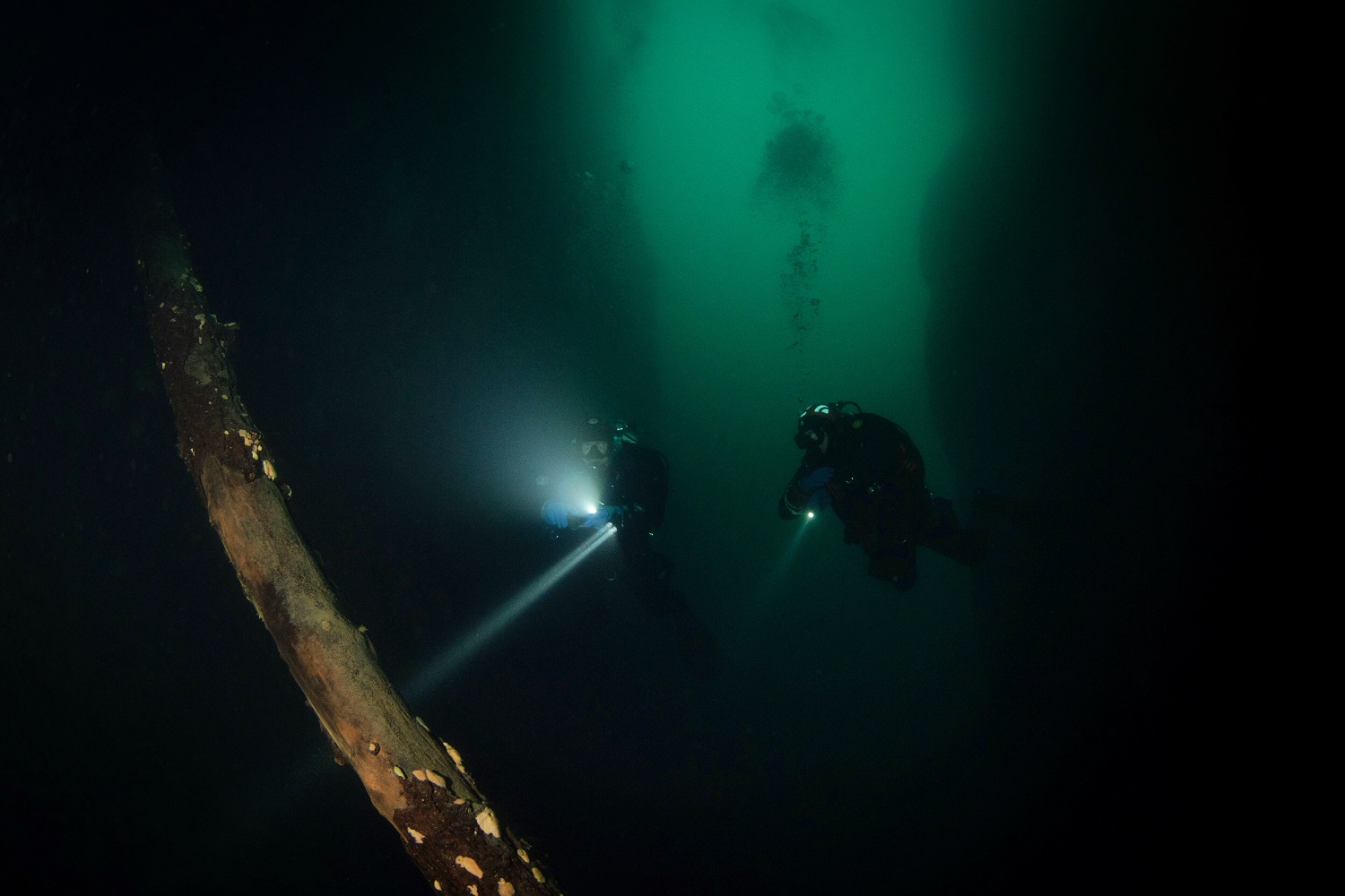
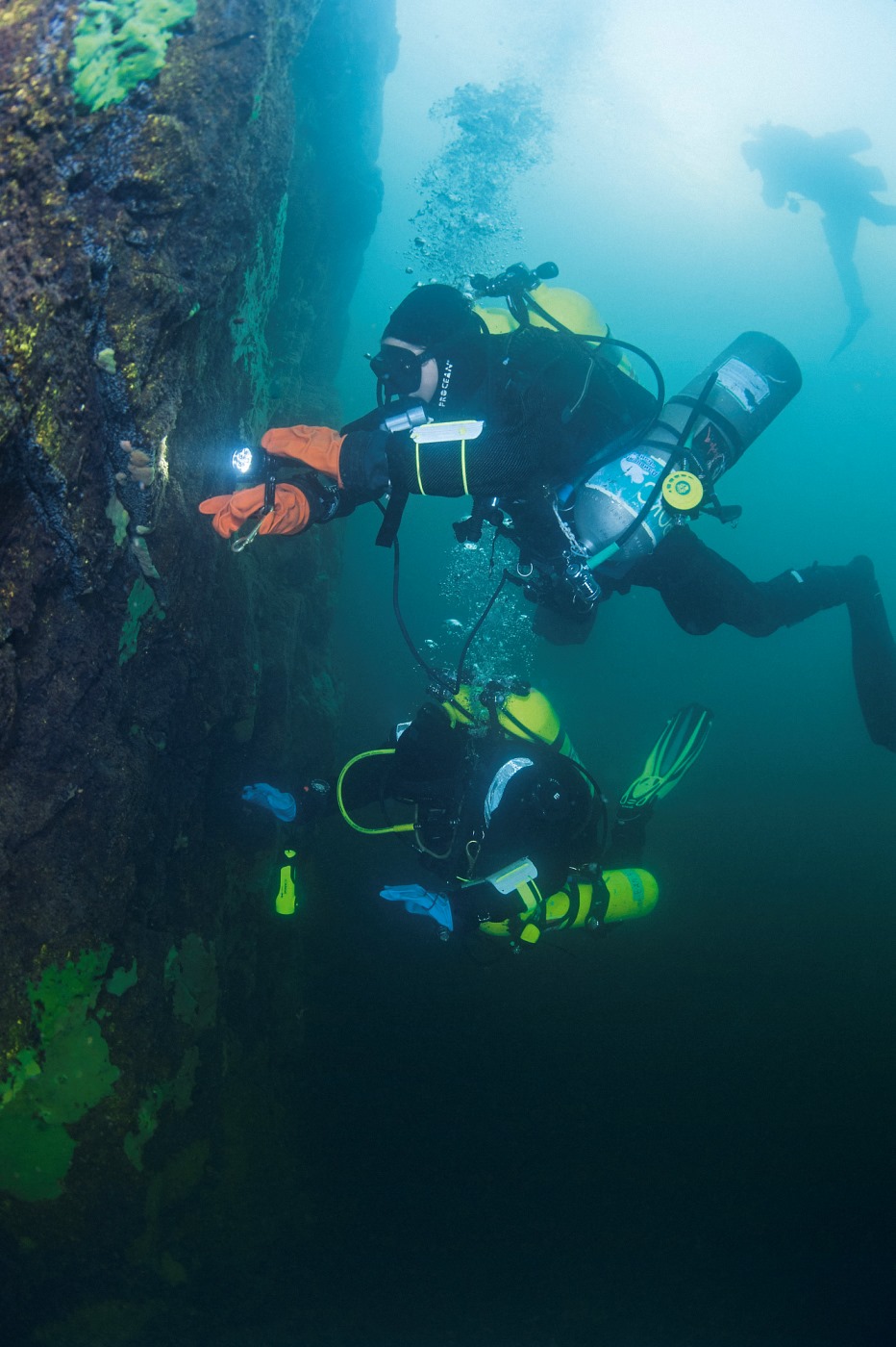
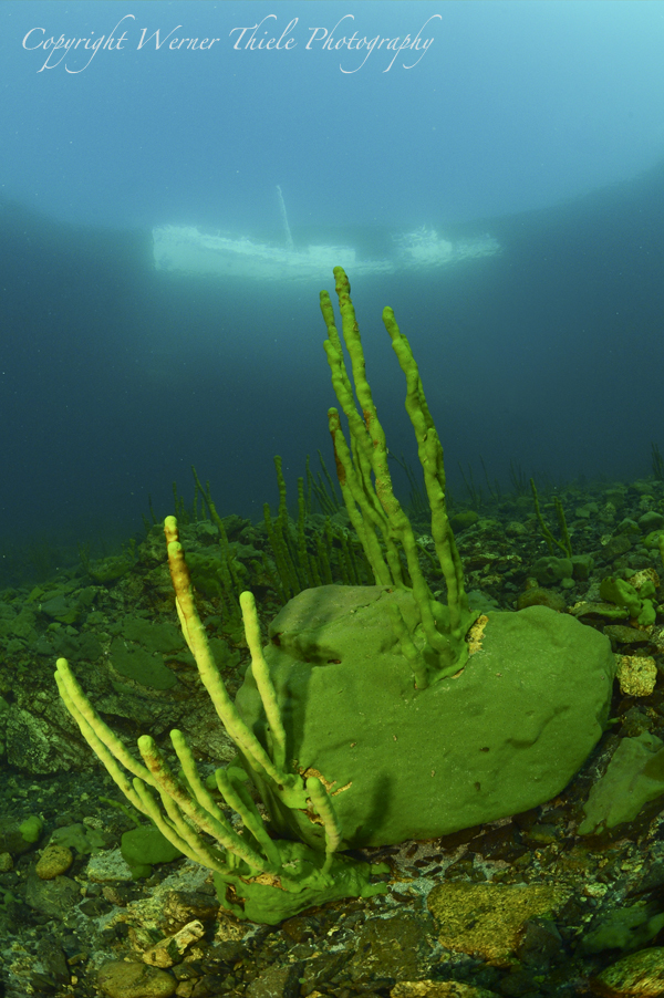
Recommended depths: three to 60 meters for photographing and filming, 6-40 meters for recreational dives and up to 130 meters for deep and trimix dives. An ideal place for deep diving. There were made dives to the depth of 130 meters (Tatiana Oparina, 2012)

The offshore area is very shallow and narrow, so dives are made from a drifting boat or, on the condition of calm weather, a dive boat is tied to the shore to the south from the River Ledyanaya, where there is no offshore area at all and the drop off goes into the abyss right from the shore. To the north from where the boat is tied begins an absolutely vertical and smooth drop off. Despite this fact the wall is covered in sponges, which grow in abandunce on the vertical surface. 

Ledyanay. Wall. Foto by Harald Hois

The drop off begins at the depth of 3-5 meters and runs parallel to the stone inclination with a gradual increase of the depth. In the central part of the dive site, where the horse-shoe-shaped wall goes into the Baikal its depth reaches the point of 120 meters - this is one of the longest and absolutely vertical walls in the Baikal. The wall finishes with a steep inclination that runs further down. In the northern part of the dive site the drop off depth gradually reduces and the upper edge of it goes deeper, i.e. there is a shallow offshore area (2,5 meters, that’s why a ship can not get into this area), then begins an inclination, which turns into a wall at the depth of 20 meters or 30-35 meters (further north).

Peschanyie Reki (Sandy rivers)

Sandy rivers
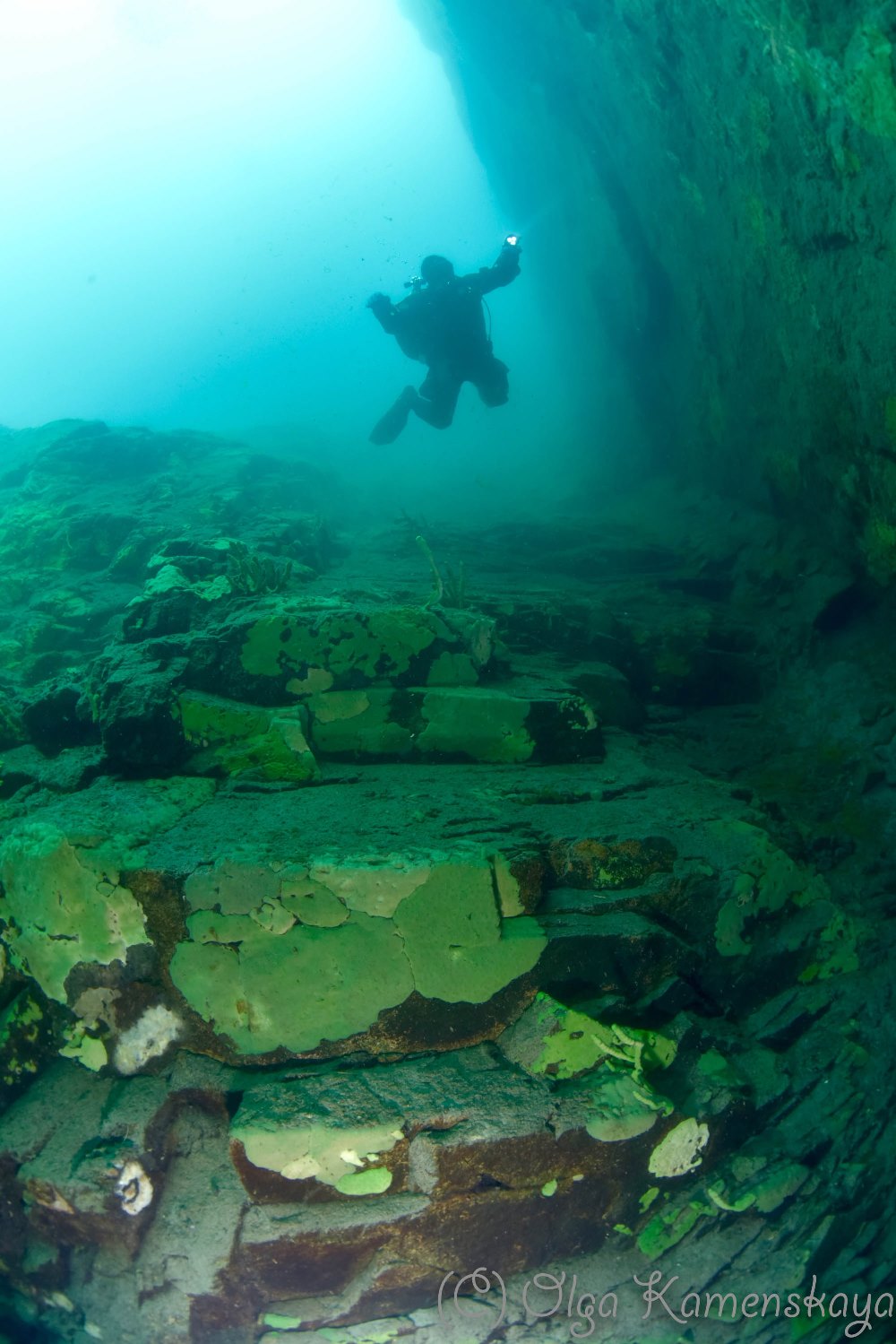
Here the offshore area is 8-10 meters deep on the edge of the drop off. 

Recommended depths: 6-25 meters for photographing and filming, 6-40 meters for recreational dives, and up to 70 meters for deep and trimix dives.

Here you find a steep incline and many shallow “canyons” such as sandy streams rushing down. All out of white sand and pebbles, the streams are separated by stone crests.

Песчаные реки. Фото Геннадий Мисан

The two bigger sandy streams go in-depth down the stone slope like sandy rivers. At a depth of 65 meters, the “rivers” merge into one and form a wide white river going down as a sandy incline.

The southern and northern (left and right) parts of the site are inclines. The southern incline is mostly stony, while the northern one, mostly sandy. The site is overgrown with sponges as deep as 25 meters.